

Every COROS device is built to get you where you want to go — on route, to the trailhead, your car, or somewhere in between. Here are eight easy ways to use navigation on your device that will help you explore more confidently this summer.
1. Retrace your route with Back to Start.
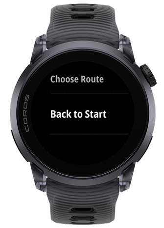
No loaded route required. Back to Start uses the GPS points already logged during your activity and and navigates you back along the same path you travelled..
2. Stay on track with Deviate Alert.
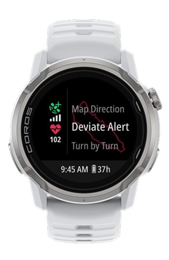
Drift more than 20 meters (65 feet) off your route for ten seconds, and your watch tells you. Still off track a minute later, it tells you again. You can also disable Deviate Alert in your navigation settings for when you want to get lost, on purpose.
3. Get guided turn by turn.
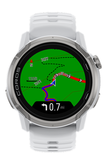
An arrow appears on screen as each turn approaches, so you can keep your eyes on the trail while your watch handles the rest. Turn alerts can be dismissed with a simple press of the Back button if you need to return to your data pages.
4. Know what's ahead with Waypoints.
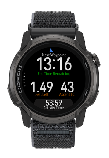
Mark an aid station, a water source, or a summit on the route you build in the COROS app. Enable Waypoint Alerts for the point along your route and as you run, your watch. As you run, your watch shows exactly how far — and how much climbing — stands between you and the next waypoint.
5. Mark the moment with Voice Pins.
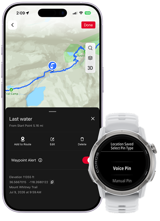
Drop a pin and say what you're marking, a water fountain, campsite, or trailhead, and your watch categorizes it with a matching icon automatically. Voice Pins can be created directly on COROS NOMAD, APEX 4, and PACE 4 . For other devices, use the Extender feature in your app.
6. All your routes in one place.
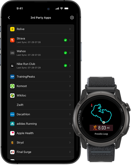
Connect your Strava, AllTrails, Ride with GPS accounts, and more – directly to your COROS account. Once your accounts are synced, any route you saved on those apps syncs directly to your COROS app, where you can send it to your watch in seconds.
7. See trail and street names, even off the grid.
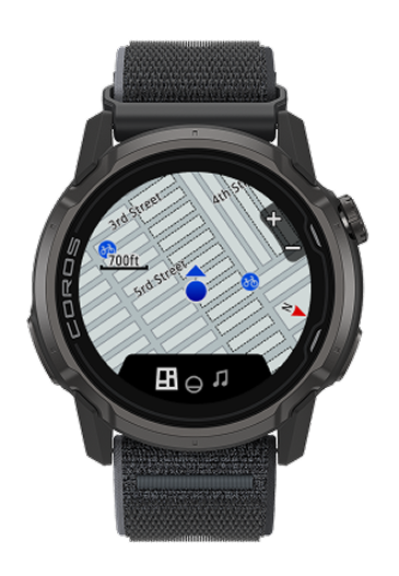
On COROS NOMAD, PACE Pro, and APEX 4, the map shows real street names and points of interest — water stops, restrooms, parking. Roads, trails, and paths are drawn differently too, so you know the surface before you're on it.
8. Know what's ahead before you start.
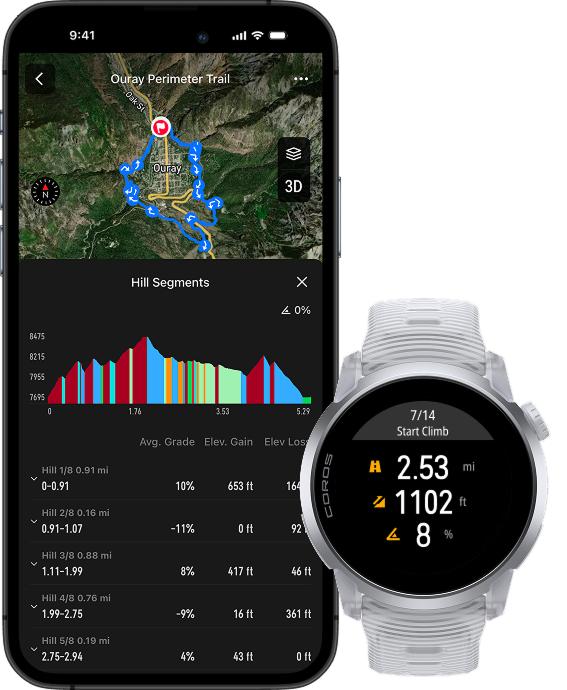
No climb will catch you by surprise. Preview a route's elevation profile on your app or watch, and hills are automatically classified for running and hiking routes.
These eight tips are just the beginning, as there are dozens of additional ways you can make the most out of navigation on your device. Read the links below to learn more and become a navigation expert.
Learn more: